

“Wheelchair friendly” on a trail listing is a user-submitted tag, and it means whatever the person who tapped it thought it meant. A paved path with a 12 percent grade gets tagged. So does a mile of packed dirt with a cattle guard halfway along.
Five numbers tell you the truth instead. Federal guidelines for trails on federal land define all five, and even where they do not legally apply they are the yardstick to measure against. The Access Board publishes them.
The five numbers
Surface
The standard is firm and stable. Asphalt, concrete, and boardwalk qualify. Compacted decomposed granite can qualify and often stops qualifying after rain or a summer of bike traffic. Loose gravel and sand never do.
Clear tread width
36 inches minimum, held for the entire length of the trail. A path that narrows to 30 inches at one washed-out corner is not a 36 inch trail, whatever the listing says.
Running slope
Up to 1:20, which is 5 percent, is allowed for any distance. Steeper pitches are allowed in short bursts, as steep as 1:8 over very short runs, and no more than 30 percent of a trail’s total length may exceed 1:12.
In practice, 5 percent is noticeable in a manual chair and it drains a power chair battery. A sustained 8 percent is a different activity altogether.
Cross slope
The sideways tilt. No steeper than 2 percent on paved surfaces, and up to 5 percent on unpaved where drainage needs it.
Cross slope is the one that catches people out. It is invisible in photographs, it never shows up in a listing, and it steers a chair off the trail while you fight it.
Resting intervals and passing spaces
Where the running slope goes over 5 percent there have to be level resting intervals. Where the tread is under 60 inches wide there have to be 60 by 60 inch passing spaces at least every 1000 feet. On a busy two-way trail, no passing space means somebody reverses, and it will be you.
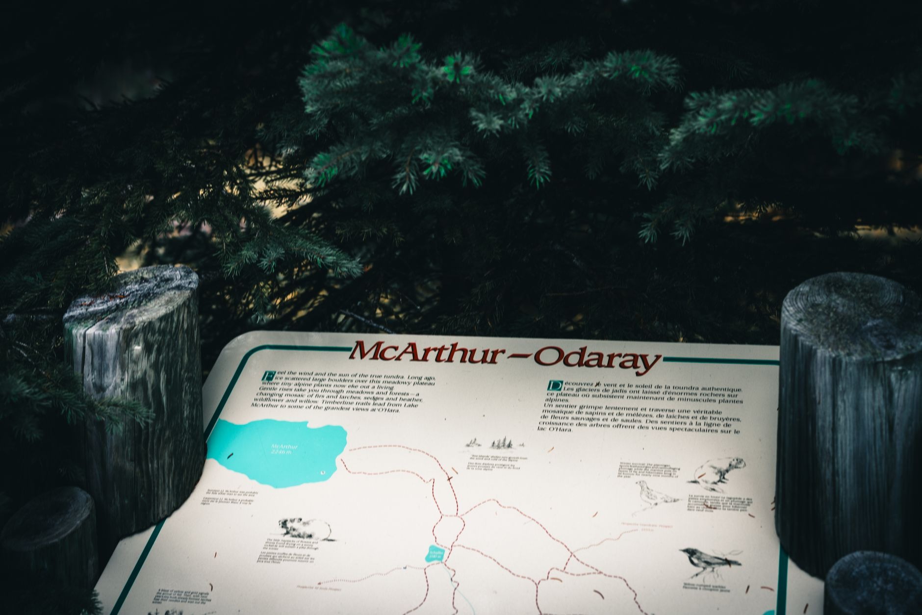
The trailhead sign is doing more work than you think
Where those guidelines apply, the trailhead sign has to post the trail’s length, the surface type, the typical and minimum tread width, the typical and maximum grade, and the typical and maximum cross slope.
If a trail posts those numbers, believe the sign over any app. If it posts nothing, the trail was not built to that standard. That does not automatically make it unusable, it just means nobody measured it for you.
What LA County says about its own trails
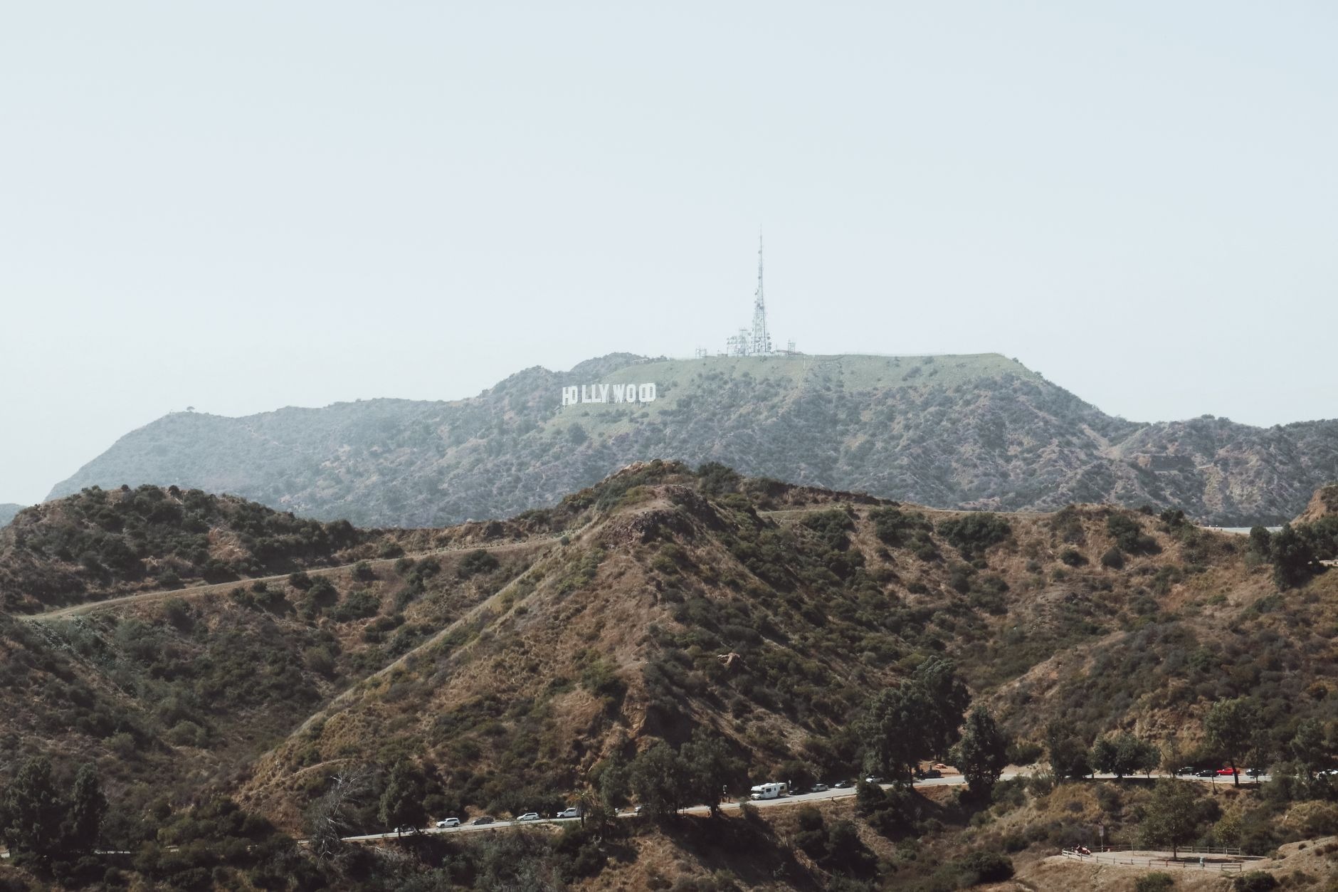
LA County is unusually blunt here, and it is worth reading in their words. Their trails accessibility page states that most County multi-use trails are natural surface dirt paths with varied terrain, steep slopes, and uneven conditions, and are not considered wheelchair accessible. The page is here.
The same page confirms that people with mobility disabilities may use other power-driven mobility devices on County trails, with the rider carrying the risk given the conditions.
Take that as the starting point rather than a disappointment. The accessible options in this county are paved park loops, nature center paths, and interpretive areas, and there are more of them than the hiking apps suggest.
Where to look instead of a hiking app
- California State Parks runs a searchable accessible features database, by park, region, or activity. It lists accessible parking, restrooms, paths of travel, trails, and picnic areas per park. Search it here.
- The National Park Service posts an accessibility page for each park unit, including Santa Monica Mountains National Recreation Area.
- LA County Parks publishes an accessibility page with a direct number for its ADA coordinator, which beats any web form for getting a real answer.
The two questions that finish the job
Whatever a page says, call the park office and ask both of these before you drive out.
How far is the accessible parking from the trailhead, and what is the surface between them? A perfect paved trail sitting behind 200 feet of loose gravel is not a trail you can use.
Is there an accessible restroom at the trailhead, and is it open today? A locked restroom sets the length of your visit no matter how good the trail is.
Photographs lie about grade
They flatten a climb and they exaggerate a gentle one, in both directions, and a phone camera is the worst offender. Numbers do not lie the same way.
Get the numbers, make the call, then drive.